Winter 2012/2013
Location: Continental Divide along US 40 North of I-70 on the border of Clear Creek and Grand Counties
Base Elevation: 11,307'
Average Annual Snowfall: 390"
Vertical Rise: 1530'
Skiable Terrain: 1200 acres+
Difficulty: Green to Double Black
Access: Ample parking is available at the top of the pass, where there is also a cozy warming hut.
 |
| Old Trail Map |
 |
| Oatmeal Bowl and No Name Peak |
 |
| North Chutes |
 |
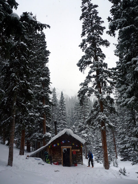
| Peter Rabbit Cabin |
More info:
http://grandlin.es/zones/berthoud-pass/
http://berthoudpass.com/index.cfm/index.cfm


No comments:
Post a Comment